
Planning your next outdoor adventure but not sure which walking website to trust? In this review, I’m diving deep into Visorando, the popular hiking and route-planning platform. Whether you are an experienced walker mapping out custom topographic routes or a casual walker looking for reliable, community-tested paths, finding the right navigation tool is essential. Over the past few years, I have put Visorando’s detailed maps, mobile app functionality, and offline GPS tracking to the test. Here is my honest review of this website.
As most of my fellow walkers, I love looking at paper maps to plan our next walk. But, I also find it nice to plot walks on my computer to check distance, ascent or other parameters and being able to play with the different paths to plot a walk that we will enjoy. I also like to find walk recommendations when I am not in the mood to prepare one myself or if we are going to a place we never visited. Additionally, I enjoy recording walks on the ground during our walking adventures.
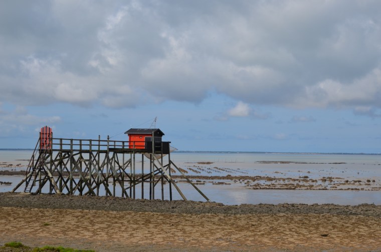
Find the walk around Ile Madame in France here.
I have used several walking websites in the past and mainly Viewranger, when it was existing, however with its closure I had to find a new website as I didn’t like its replacement. Around 3 years ago I started to use Visorando walking website. To be more accurate, the English version of Visorando, as I had used in the past the French website. Now that I have a good understanding of this website and their phone application, I thought I will write a review to share with you why I like it.
Find my Visorando profile here.
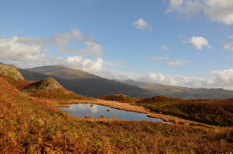
Read about this walk to Loughrigg Fell by Lily Tarn from Ambleside, Cumbria here
What is Visorando:
Visorando was created in 2010 by two cousins Fabien, walking guide, and Arnaud, IT developer, to share their common passions for walking and the outdoors. The company is based in Alsace, East of France, near the Vosges. With more than 30,000 walks published on their website, Visorando is considered the leader for walking website/application in France. They have around 14 full-time staffs and around 16 moderators volunteering from across France and the United-Kingdom. The website is available it French, English and German and on mobile phones via their app.
Visit Visorando website EN / FR / DE.
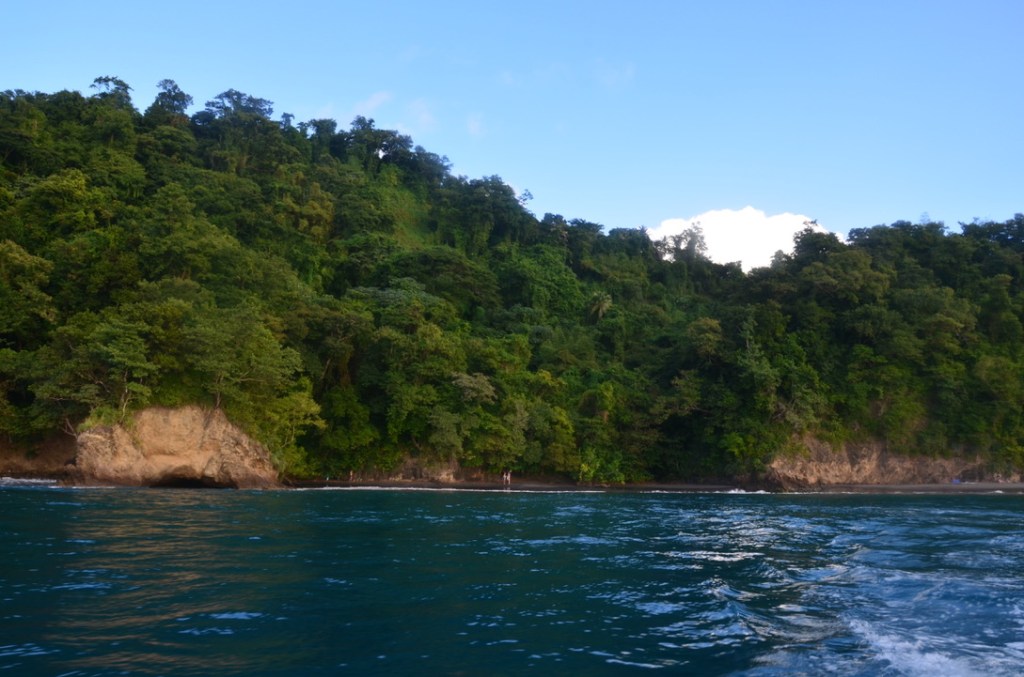
Read our walk from Grand’rivière to Anse Couleuvre in Martinique here.
How does Visorando work:
Visorando is a collaborative website based on the publication of walks that their members have written. Each walk published on their website is unique and has been reviewed and accepted by one of the moderators. Everyone can write a walk and submit it. The process is very simple: an author write a walk and send it for review. Moderators will review the walk, accept it or request modification and then the walk will be available for everyone on the website. It is also possible to just use the website to record personal walk without publishing them, to use it to plot walks or just to follow walks that have already been published. The website offers the possibility to download the GPX file of the walk and a PDF with clear details of the walk. Using the app, you can also read the explanation of the walk and follow the walk on your phone. There is a function that let you know if you are slightly off the path. Additionally, the website offers the possibility to review and comment walks and to attribute a mark.
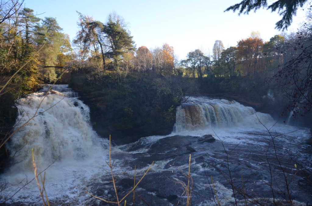
Read about our walk to New Lanark and the Falls of Clyde in Scotland here.
What are the different roles within Visorando community:
As mentioned previously, Visorando is a collaborative website based on members that share the same passion of walking. There are three main roles within the Visorando community, which are at high-level:
- Basic user: This is someone who will use Visorando for looking at walks that are already on the website, follow them via the app or GPX, PDF. They might plot their own walks that they will save in their personal space on the website. They might also write comments on the walks they have followed, contribute to discussion on the forum and publish photos for the walks they have done.
- Author: This is someone who will use Visorando as the basic user but who in addition will write walks that will be publish and available for everyone.
- Moderator: This is someone who will use Visorando as the basic user and who might also be an author but it is someone who has decided to help the Visorando community by reviewing and moderating the walks that have been submitted by others authors.
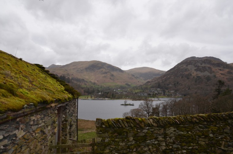
Read about our walk to Silver Point from Patterdale here.
How much does Visorando cost:
You can access Visorando for free by creating an account on the website or app. You can also download PDF, GPX files, comments on walks, participate in the discussion in the forum and publish walk for free. However, you will have some advertisements. For £21/year you can have the premium subscription with the following features: Topographic maps available on mobile phone even offline (e.g. OS maps, IGN France etc), walking route planner on mobile phone, advanced walking route planner on the desktop, no advertisements, weather forecast, real-time position sharing from mobile phone, advanced search engine, classify walks within personal account, export KML/google Earth and others features.
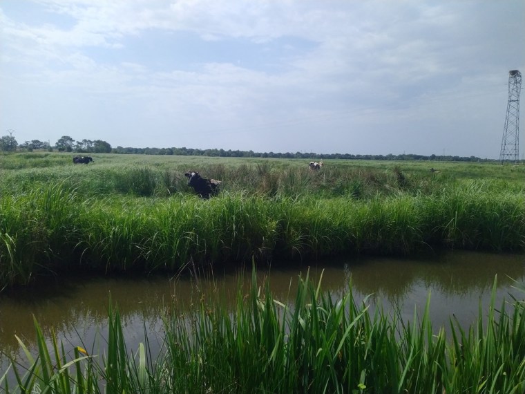
Read our walk to the Marais Fresnier in Savenay, France here
My review / experience using Visorando:
Overall I have enjoyed using Visorando the past 3 years. Their team is so friendly and responsive that if I have an issue, I just need to send a quick email to them or message in the forum and they will quickly fix it. What I like the most compare to other walking websites is the fact that each walk published on the website/app is unique, which mean that if I open the link to a walk I know it will be different to the next link I open. That save me a lot of frustration and time when compared to other website. I don’t know about you, but personally I hate when I open several links of walks published to realise that they are all the same and that actually 20 people have published exactly the same walk.
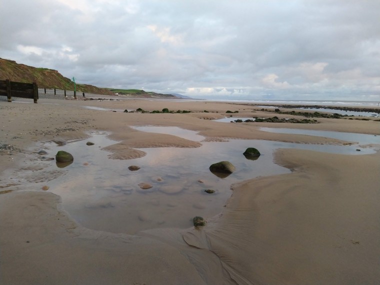
Read about our four walks to discover St Bees beach in Cumbria here.
I also find the tool to plot walk easy to use, with all the function I need. Regarding the quantity and selection of walks: most of the walk are in France and UK is slowly developing, which means that you can sometimes find some areas in UK that have no walks. However, there are more and more walks published around the world and in particular in UK. Additionally, a lot of walks are currently written in French but it is possible to access walks written in German and English and just download the GPX or follow the map on the app. Also the team is working on the translation of all the walks in the three languages so soon, every walks published will the available in the three languages. The walks available are diverse covering different level, length, ascent, terrains and are perfectly for everyone from beginning and family walks to multi-day and challenging ones.
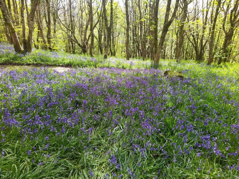
Read our walk to Muncaster Castle from Ravenglass to admire the bluebells here.
Would I recommend Visorando website. YES and as I am enjoying using it, since the beginning of this year I am a volunteer moderator for the English website. I am also please to say that the Visorando team is offering to my readers a 10% discount to the Premium membership subscription by using this code NH-K7U25.
Visorando Premium subscription page.

Final Thoughts:
Join the Conversation
Do you use Visorando website?
Share your thoughts: Don’t hesitate to tell us what you think by leaving us a comment below!
Stay Updated
If you enjoy our adventure, consider subscribing below to our newsletter for more family and dog-friendly adventures in Europe and the United Kingdom.
 Our Lake District Escapades
Sounds like a nice app, there are so many these days. The OS maps are not so well designed for finding walks but the maps are of course great.
LikeLiked by 2 people
Yes this is one of the advantages of Visorando it is very easy to find walks and plot walks and you also have access to OS maps.
LikeLiked by 2 people
I did look at Visorando when you mentioned it before, Melodie, but I’m not especially interested in contributing. Glad you find it helpful xx
LikeLiked by 2 people
That is fine Jo, not everyone want to contribute. You can still use it to follow walks; however I am not sure how many walk there are in the Algarve ☺️. Do you use any other websites?
LikeLiked by 1 person
Our Tavira Trekkers group use Wikilocs and I’ve looked at All Trails, but there are many listed PR routes throughout Portugal so it’s never hard to find a walk here xx
LikeLiked by 2 people
I have used Wikilocs before and found it ok. That is so nice when paths are well signposted. They start to improve some of the path in Cumbria but most of them have no sign or a sign that says “Footpath” with no indication of directions 🤣.
LikeLiked by 1 person
If you Google Via Algarviana you’ll see that there’s a trail that stretches inland, right across the Algarve. It’s regularly maintained in Springtime by an army of volunteers xx
LikeLiked by 2 people
Thanks Jo ☺️
LikeLiked by 2 people
Thanks for all the great information the about Visorando app. Excellent to know about them.
LikeLiked by 1 person
Thank you Lynette.
LikeLiked by 2 people
Mon compagnon établit lui-même souvent nos plans de randonnées mais on utilise aussi Visorando qui nous donne toujours plein d’idées de randonnées 🙂
LikeLiked by 2 people
Ah super t’entendre quelqu’un d’autre qui aime tracer ses randonnées et trouve Visorando utile. Un autre amour de la randonnée 😉
LikeLiked by 2 people
I like apps like this, it’s a great way to pool knowledge and share routes with other walkers.
LikeLiked by 2 people
I agree. It is always nice to discuss and share with people who have the same hobby.
LikeLiked by 1 person
What a wonderful resource to know about! Thanks for sharing! 🙂
LikeLiked by 2 people
Thank you Barbara. I am not sure if they have walks where you live but it might be the opportunity to write some to share with everyone ☺️.
LikeLiked by 2 people
I like the concept of Visorando and wish we had something similar in my area.
LikeLiked by 2 people
You can use the website in Canada. There might not be a lot of walks at the moment but you can share yours and maybe in the future more and more people from Canada will add walks.
LikeLiked by 2 people
I just had a quick look at the website and they have some in Québec and some near Calgary I think.
LikeLiked by 2 people
Good to know! Fabulous idea!
LikeLiked by 1 person
Thanks for that review Melodie. I think I’ll have a look at the app and give the free version a try. There are so many available now so always good to get a recommendation. Merci 😊
LikeLiked by 2 people
Let me know what you think once you tried it ☺️.
LikeLiked by 1 person
Je ne connaissais pas du tout ce site mais c’est intéressant de connaître son existence, ça vaut le coup quand on cherche des informations sur une randonnée et qu’on ne trouve pas ailleurs (j’ai juste tendance à mettre le nom de la potentielle randonnée sur Google et voir ce qui sort)
LikeLiked by 2 people
Le site est utile quand tu veux aller randonner mais tu ne sais pas où aller. Ça te donne pleins d’idées et aussi pour tracer tes propres randonnées. J’espère qu’il te donnera plein d’idées d’endroits à découvrir.
LikeLiked by 2 people
Beautiful captures!!
LikeLiked by 2 people
Thank you 😊
LikeLiked by 1 person
Wow, this sounds like a fantastic platform and app that allows users to discover, share, and track their walks, and it offers features like curated routes, offline maps, and GPS tracking. I love how the routes are moderated by a team, ensuring accuracy and providing detailed descriptions with waypoints. Thanks for sharing, and have a good day 🙂 Aiva xx
LikeLiked by 2 people
It is a great app Aiva to plan and record your walks. Thanks for reading.
LikeLiked by 2 people