A great walk to discover the summits around Loweswater lake. This walk passes by the top of Blake Fell and Gavel Fell before returning along the shore of Loweswater.
Une belle randonnée pour découvrir les sommets autour du lac de Loweswater. Cette randonnée passes par le haut de Blake Fell et Gavel Fell avant de repartir le long des bords de Loweswater.
Blake Fell and Gavel Fell walk information:
- Distance: 11km
- Duration: 4h30
- Ascent: 496m
- Level: Medium
- Car park: National Trust car park, CA13 0RU, Loweswater, free, small around 6 cars.
- Dog friendly: yes sheeps in the fields.
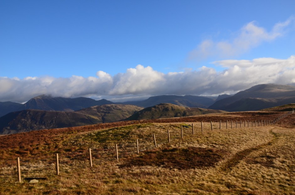
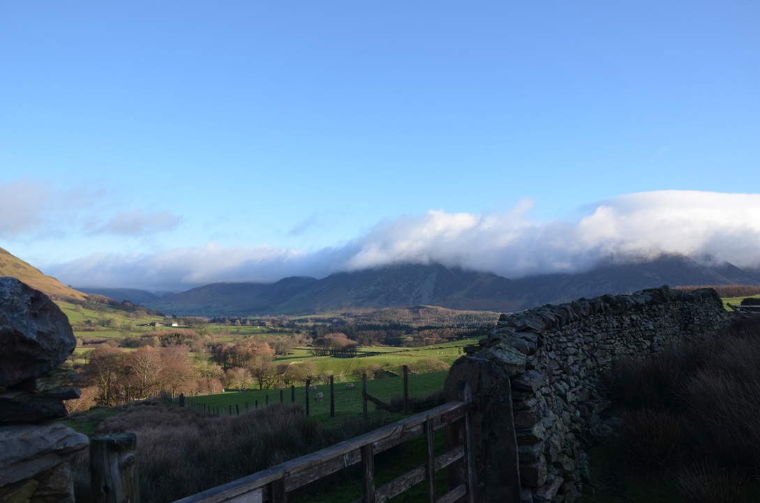
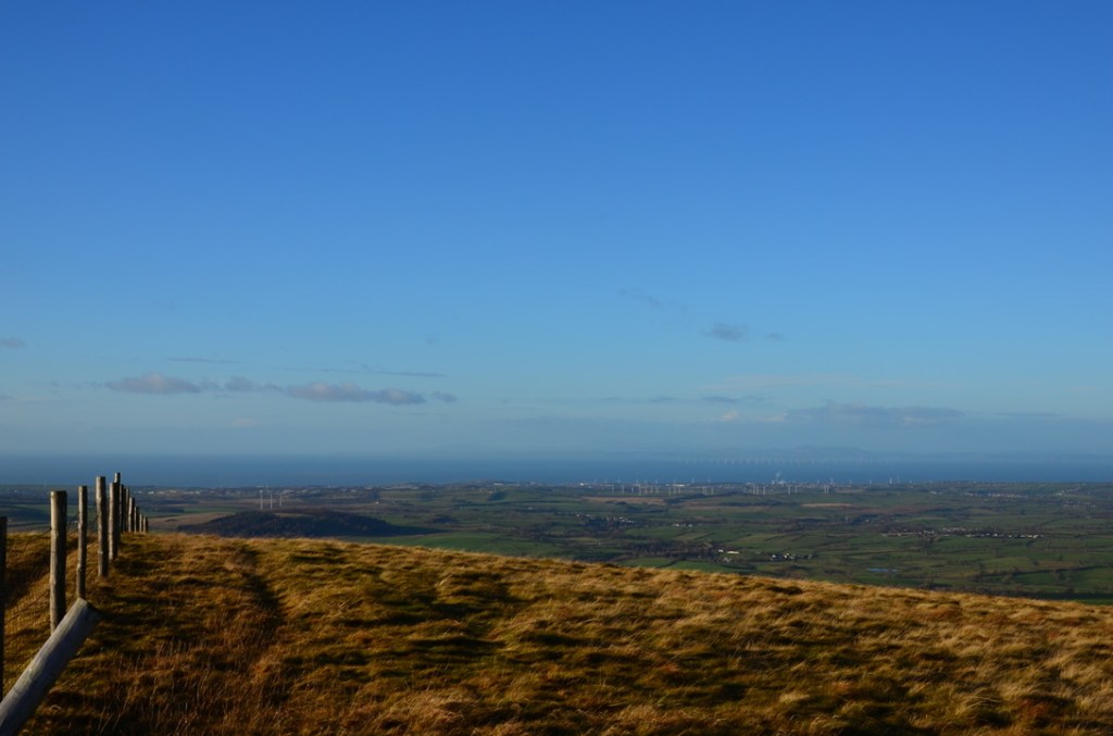
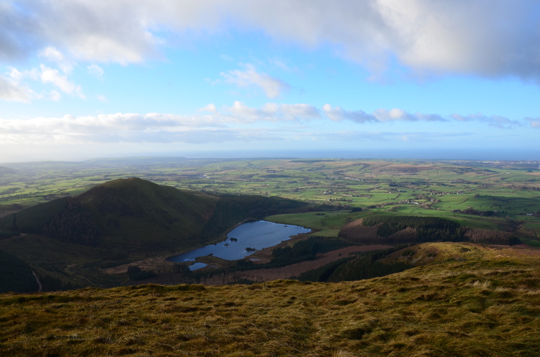
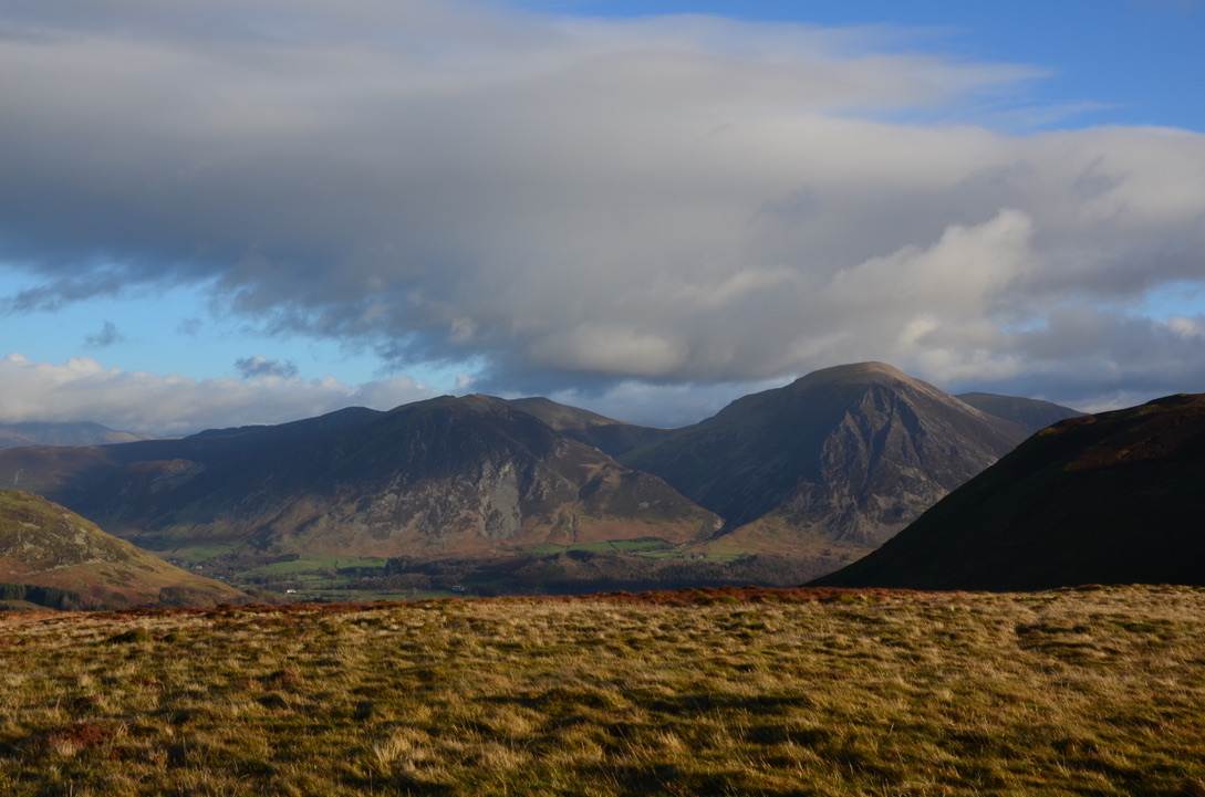
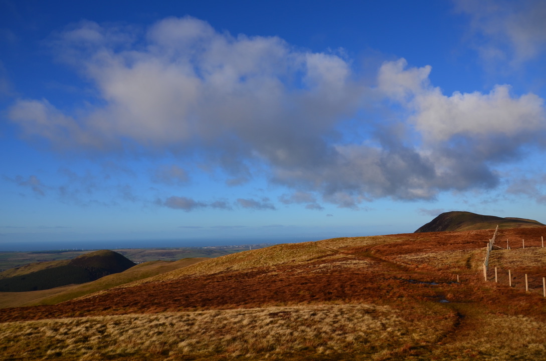
It is with a little bit of delay that I share this hike we did in December. Last summer we did two hikes near Loweswater Lake, the first one was around the lake and the second one was on the heights. We loved this place which is not very popular and close enough to where we live. And there is also the Kirkstile Inn not far away which is perfect for a lunch / beer break at the end of the hike. So, in December with a friend, we decided to do the left side of the lake and the summits of Gavel Fell, Blake Fell and Burnbank Fell. This hike climbs nicely to the top of Gavel Fell and once up, the path is almost flat to Blake Fell and Burnbank Fell. Then the trail goes down through the forest before reaching the lakeshore and the parking. On a clear day it is possible to see the south coast of Scotland from the top of the peaks. It is a nice hike because it is quite easy, short and with beautiful views.
C’est avec un peu de retard que je partage cette randonnée que nous avons faite au mois de Décembre. L’été dernier nous avions fait deux randonnées vers le lac de Loweswater, la première était autour du lac et la deuxième sur les hauteurs. Nous avions beaucoup aimé cet endroit qui est peu connue et assez proche d’où nous vivons. Et il y a également le pub Kirkstile Inn pas très loin qui est parfait pour une pause lunch / bière à la fin de la randonnée. Ainsi au mois de Décembre avec une amie, nous décidâmes de faire le côté gauche du lac et les sommets de Gavel Fell, Blake Fell et Burnbank Fell. Cette randonnée monte tranquillement jusqu’au sommet de Gavel Fell puis une fois en haut, le chemin est pratiquement plat jusqu’à Blake Fell et Burnbank Fell. Puis le sentier redescend à travers la forêt avant de rejoindre les bords du lac et le parking. Par temps clair il est possible de voir la côte sud de l’Ecosse depuis le haut des sommets. C’est une randonnée agréable car assez facile, courte et avec de belles vues.
Find the walk around Loweswater lake here. Find the walk to the top of Loweswater here.
Here are the key steps to do it:
Voici les étapes clés pour la réaliser:
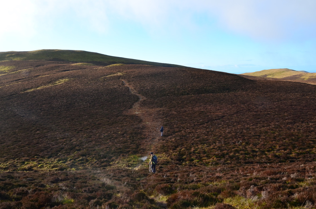
- From the car park take the path that goes towards the High Nook farm. Go past the farm and continue straight for a short time before taking a path that goes up on the left. Continue for a while straight ahead before turning right onto the path to Gavel Fell. Continue to the top of Gavel Fell.
- Once on Gavel Fell, turn back slightly and head towards Blake Fell. Then up Blake Fell down the middle path to Burnbank Fell. Pass Burnbank Fell and continue the descent.
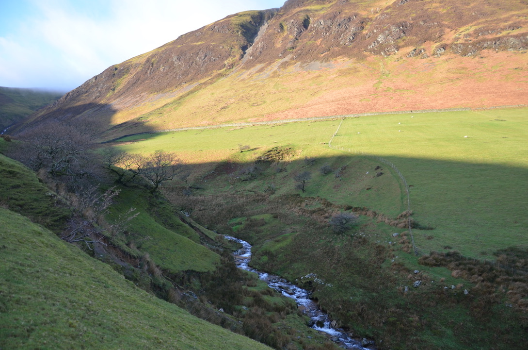
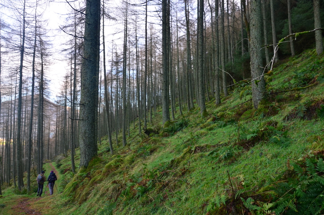
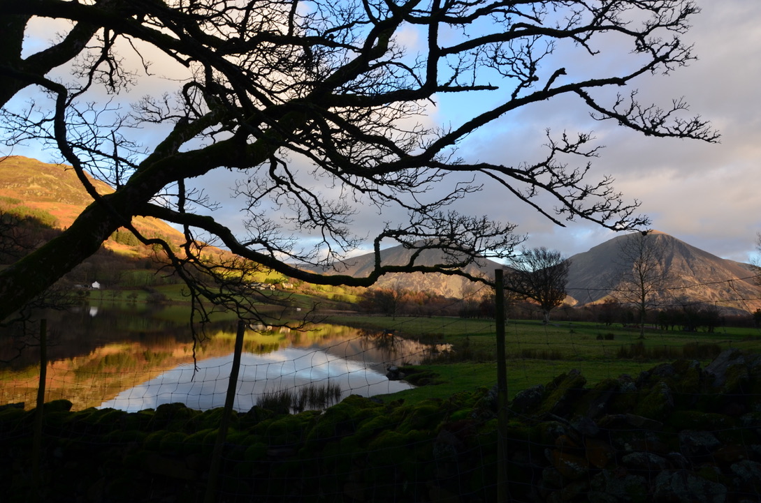
- Once down at the intersection take right on the wide path. Continue straight on this path. After passing a small river, take the path on the left which goes through the forest. Continue straight on this trail until you reach the lake. Then turn right and continue straight until the parking.
- Depuis le parking prendre le sentier qui va en direction de la ferme High Nook. Passer la ferme puis continuer tout droit pendant un petit moment avant de prendre un sentier qui monte sur la gauche. Continuer un petit moment tout droit avant de prendre à droite le sentier qui va en direction de Gavel Fell. Continuer jusqu’en haut de Gavel Fell.
- Une fois sur Gavel Fell, rebrousser légèrement le chemin et partir en direction de Blake Fell. Puis en haut de Blake Fell redescendre par le sentier du milieu qui va vers Burnbank Fell. Passer Burnbank Fell et continuer la descente.
- Une fois en bas et au niveau de l’intersection prendre à droite sur le large sentier. Continuer tout droit sur ce sentier. Après avoir passe une petite rivière, prendre le sentier a gauche qui part à travers la forêt. Continuer toujours tout droit sur ce sentier jusqu’à arriver au niveau du lac. Puis prendre à droite et continuer tout droit jusqu’au parking.
Do you know this hike?
Connaissez-vous cette randonnée?
Find all our dog friendly walk in this page. To discover all our adventures in the United Kingdom here.

Loweswater is a lake my dog Hugo still needs to paddle in. Looks a good hike. X
LikeLiked by 1 person
I am sure you will love it.
LikeLike
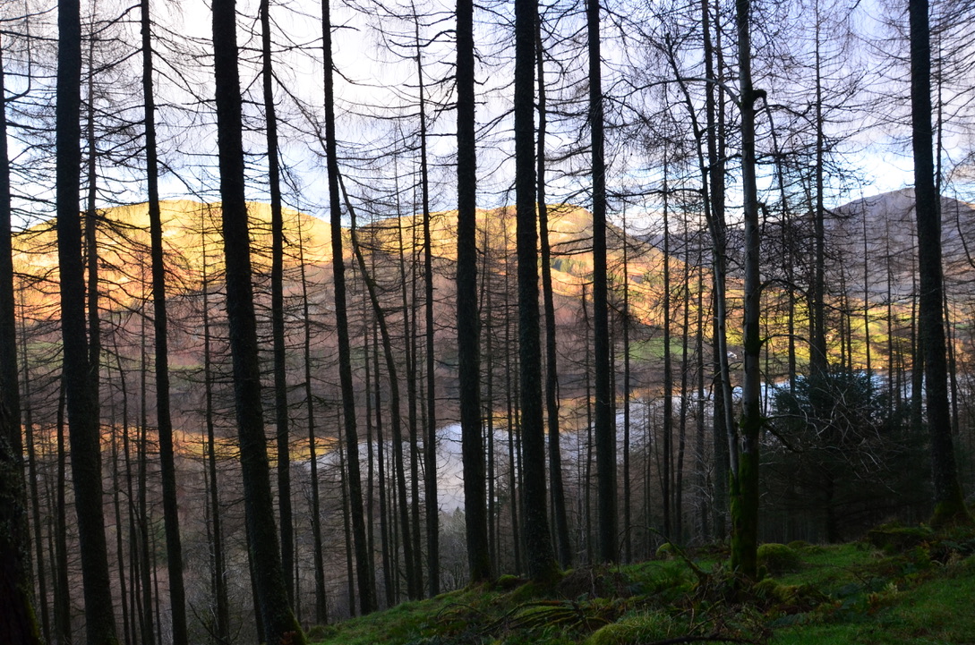
Looks like a great hike and you had gorgeous weather. I particularly like the bottom photo through the trees.
LikeLiked by 1 person
Thank you, yes the weather was amazing for December. I love taking photos of trees.
LikeLiked by 1 person
Les photos sont superbes, ça me rapelle un peu le Connemara 🙂 Merci pour ce beau partage Mélodie
LikeLiked by 1 person
Merci beaucoup Manon. Je ne connais pas le Connemara donc ne je pourrais te dire. Encore une destination que je dois ajouter à ma liste.
LikeLiked by 1 person