
Dog friendly walk to the summit of Shutlingsloe in the Peak District National Park. Very quiet walk with beautiful views on the English countryside.
Randonnée accessible aux chiens jusqu’au sommet de Shutlingsloe dans le parc national du Peak District. Randonnée assez calme avec de magnifiques vues sur la campagne anglaise.
Shutlingsloe walk Information:
- Distance: 12km
- Duration: 3h30
- Ascent: 352 m
- Level: Medium
- Car park: Free parking on the left od the Nabbs Road, just after The Crag Inn pub, Wildboarclough, SK11 0BD.
- Toilets, food truck and picnic tables at Macclesfield forest car park (half distance of the walk).
- Dog friendly: Yes however dogs should be on the lead when crossing fields with livestock.

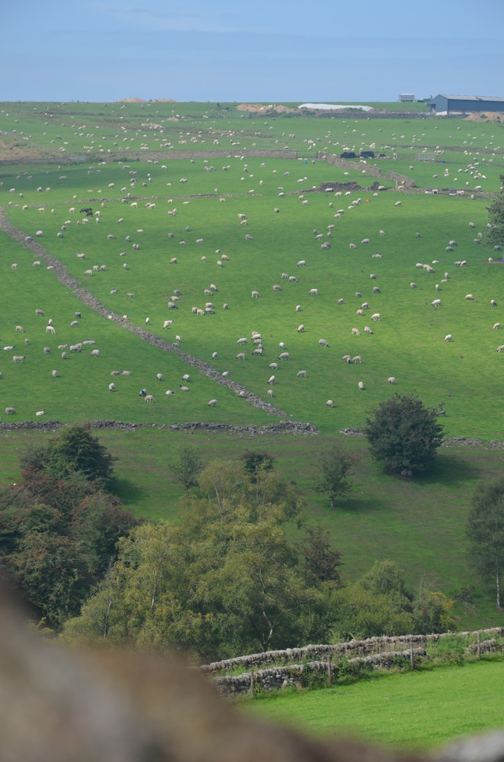
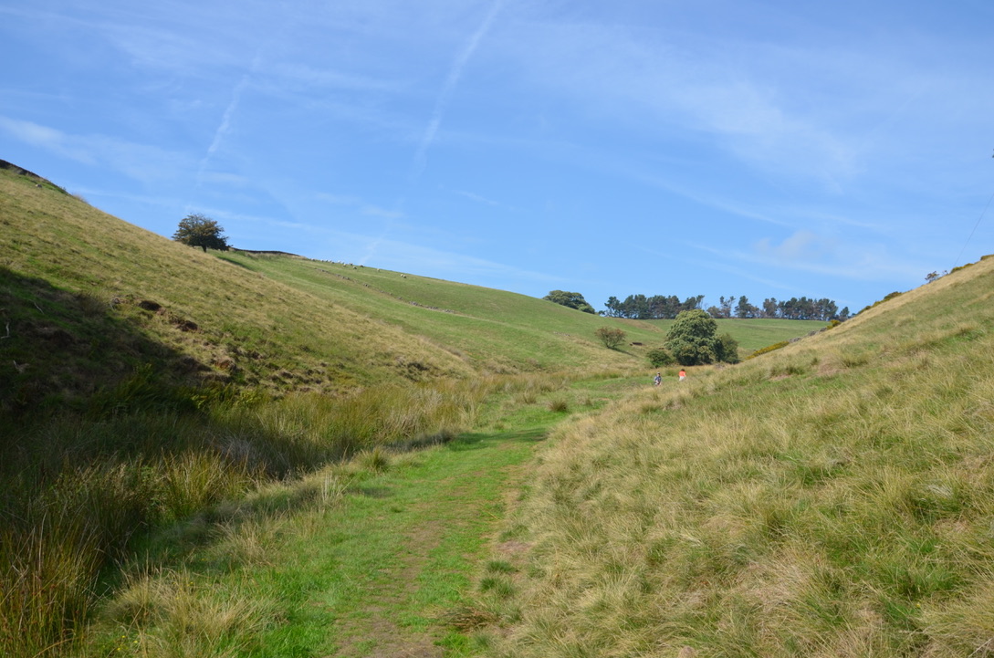
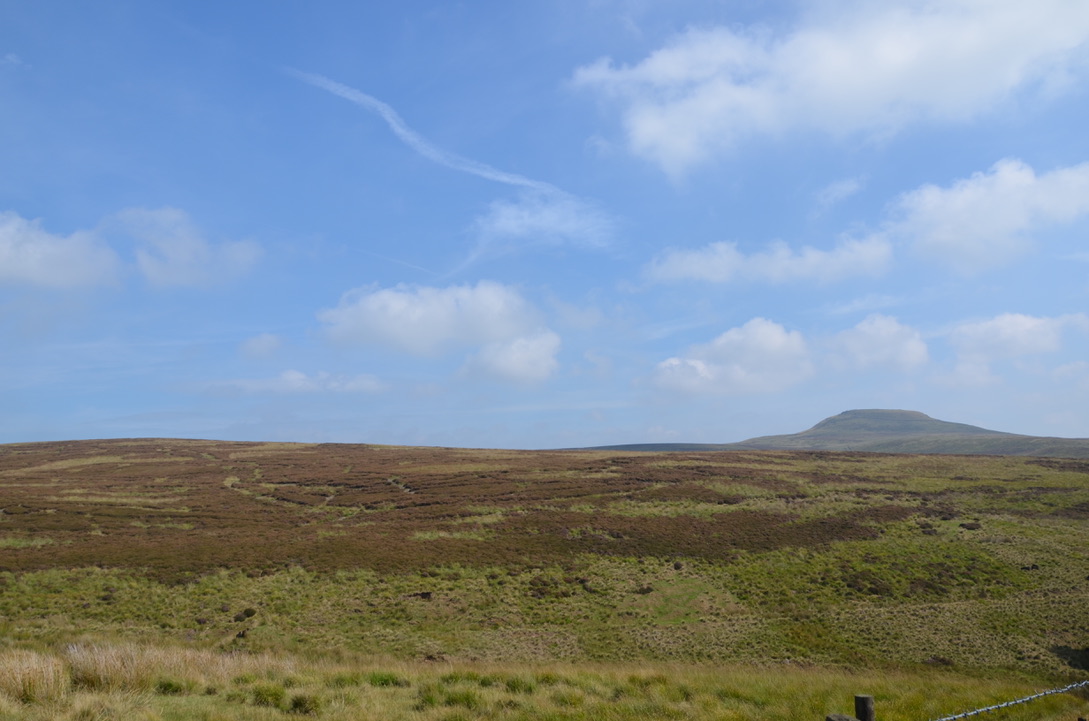
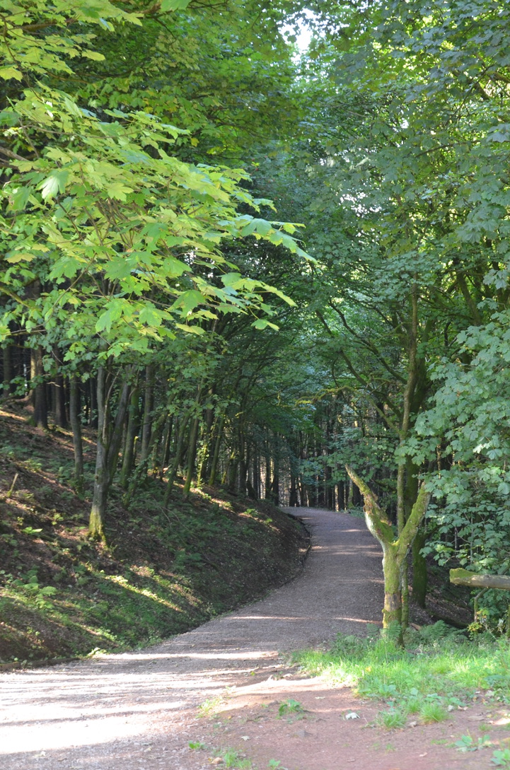
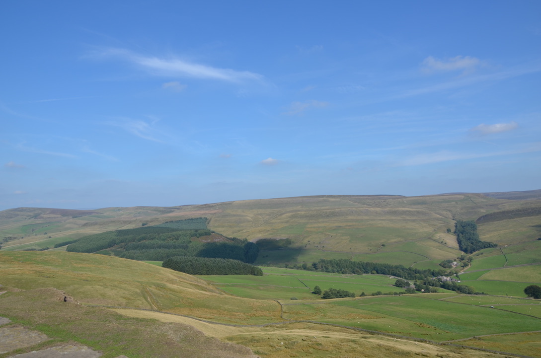
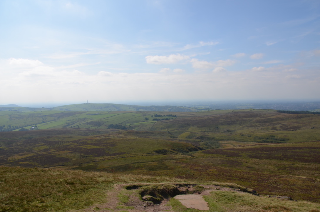
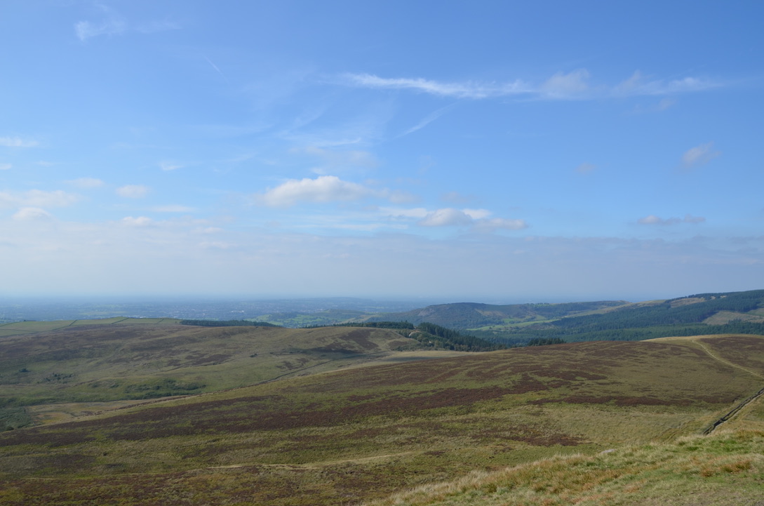
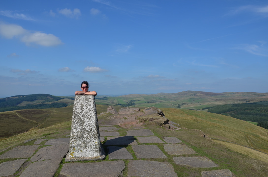
At the end of August, we took the opportunity to visit our friends in Manchester to go hiking with them in the Peak District. It has been a long time since I wanted to do this hike, but we did not have time before as it is quite a long one. At beginning, the hike passes through several fields. The trail is fairly well signposted and visible. This hike is not very hard until you get to the Macclesfield Forest and the base of the Shutlingsloe summit. The climb to the summit is quite steep but short. At the top of the summit the view is beautiful and extends to Manchester.
Fin août nous avons profité de rendre visite à nos amis sur Manchester pour aller faire une randonnée avec eux à Peak District. Cela faisait assez longtemps que je voulais faire cette randonnée mais nous n’avions pas eu le temps car elle est assez longue. Le début de la randonnée passe à travers plusieurs champs. Le sentier est assez bien indiqué et visible. Cette randonnée n’est pas très dur jusqu’à arriver au niveau de la forêt de Macclesfield et la base du sommet de Shutlingsloe. La montée au sommet est assez raide mais courte. En haut du sommet la vue est magnifique et s’étend jusqu’à Manchester.
Here are the steps to do this hike:
Voici les étapes pour réaliser cette randonnée:
- Take the trail that goes into the fields just before the parking of the Crag Inn pub. Follow the trail for a long time until you reach a road. Turn left and follow the road until you reach the main road. Take right, then continue until you reach a bridge. Just before the bridge take the path on the right towards Oakenclough;
- Follow this trail for a while to cross the river, pass fields and arrive on a road. At the road level turn right, then right again at the intersection and continue until you reach Macclesfield Forest;
- Once at the forest take the path towards Trentabank Visitor Centor. Pass the picnic area and take the path towards Shutlingsloe. Follow the path to the top of the summit;
- At top of the summit take the opposite path that goes down. Follow it until you reach the road. Then take right to go back to the car.
- Prendre le sentier qui part à travers champs juste au niveau du parking du Crag Inn. Suivre le sentier pendant un long moment jusqu’à arriver au niveau d’une route. Prendre à gauche et suivre la route jusqu’à arriver sur une route principale. Prendre à droite, puis continuer jusqu’à arriver vers un pont. Juste avant le pont prendre le sentier à droite en direction d’Oakenclough.
- Suivre ce sentier pendant un bon moment afin de traverser la rivière, passer des champs et arriver sur une route. Au niveau de la route prendre à droite, puis à nouveau à droite à l’intersection et continuer jusqu’à arriver à la forêt de Macclesfield.
- Au niveau de la forêt prendre le sentier en direction de Trentabank Visitor Centor. Passer l’aire de pique-nique et prendre le sentier en direction de Shutlingsloe. Suivre le sentier jusqu’en haut du sommet.
- En haut du sommet prendre le sentier opposé qui descend. Le suivre jusqu’à arriver la route. Au niveau de la route prendre à droite pour rejoindre la voiture.
Do you know this place in the Peak District? Have you ever done this hike?
Connaissez-vous cet endroit de Peak District ? Avez-vous déjà fait cette randonnée?

Find all our walks in the Peak District National Park on this page.

Looks like a great hike. I particularly like the top photo with the sheep, a quintessential scene from the English countryside.
LikeLiked by 1 person
Thank you for your comment. It was very nice indeed.
LikeLike
super rando, ça donne envie !
LikeLike